What is a mapcode?

A short code for any place on Earth

Every location on Earth can be represented by a mapcode: a short code designed to be easy to recognize, remember and communicate.

Example in Amsterdam NLD 49.4V

What is a mapcode?

The idea in three points

A mapcode represents a location, precise to a few meters for everyday use.

Mapcodes are short and made for human communication, even when coordinates would be hard to read aloud or copy.

Mapcodes are free to use, with technical details and source material available on our Developers page.

Mapcodes are free. They can be used by anyone, and may be supported, provided or generated by anyone, as long as this is done free of charge, conditions or restrictions. Technical details and source material are available on our Developers page.

What does a mapcode look like?

What does a mapcode look like?

A mapcode is easiest to understand by building it up from the local code to the country or state context around it.

  1. Start with the local code

    A mapcode consists of two groups of letters and digits, separated by a dot.

    For example, this mapcode points to a location in Amsterdam:

    This short local code is enough when the country or state is already clear.

    49.4V
  2. Use it when the country or state is clear

    On a business card or in a message, place it next to the country or state name:

    Mr. John Smith
    Oosterdoksstraat 114
    Amsterdam
    Netherlands 49.4V
  3. Store the country context explicitly

    When storing mapcodes in a database, include the country explicitly:

    You can also use the ISO standard 3-letter abbreviation:

    Netherlands49.4V
    NLD49.4V
  4. Add state context in very large countries

    In eight very large countries (USA, Canada, Mexico, Brazil, India, Australia, Russia, and China), an address has little meaning without knowing the state, just as elsewhere an address has little meaning without knowing the country. For example, there are 27 cities called Washington in the USA. If you mean the capital city, you would refer to Washington DC.

    In an international context, include both the country and the state:

    DC18.JQZ
    US-DC18.JQZ

    More information on mapcodes and their underlying concepts can be found in our Reference material.

Try mapcodes

Try mapcodes

Use the converter on this site to go from a location to a mapcode or from a mapcode back to a location. You can also use the mobile apps listed below.

Background and trust

Background and trust

Mapcodes were developed in 2001, donated to the public domain in 2008, and are maintained by the Mapcode Foundation.

Where did mapcodes come from?

Mapcodes were developed in 2001 by Pieter Geelen and Harold Goddijn, soon after the GPS satellite signals were opened up for civilian use. It was decided to donate the mapcode system to the public domain in 2008. The algorithms and data tables are maintained by the Mapcode Foundation. The mapcode system is currently being filed as a standard at the International Organisation for Standardisation.

Mapcode technology patents

To ensure we can continue to provide Mapcode technology for its users, our technology is protected via several patents in various jurisdictions (EP 2769182, US 9377311, US 9995586, IN 414932, OA 16974).

How do mapcodes compare to GPS coordinates, Plus Codes and what3words?

How do mapcodes compare to GPS coordinates, Plus Codes and what3words?

Mapcodes are short, free and work offline. This comparison shows how they differ from other common ways to describe a location.

System Example Precision Usage Cost Works offline
Mapcode NLD 49.4V A few metres by default, but can be specified down to centimetres Short codes, designed for human communication and readability Free Yes
Latitude / longitude 52.376, 4.90852.376° N, 4.908° E Very high Long and error-prone to read and communicate Free Yes
Google Plus Codes 9F46MW9C+8Q A few metres Similar to a mapcode, but harder to read and communicate Free Yes
what3words ///filled.count.soap About three metres Strings of words to remember Commercial licence Limited

Mapcode stories

Mapcode stories

These examples show how short, readable location codes can help when normal addressing is difficult, incomplete or too cumbersome.

Emergency services

Emergency services

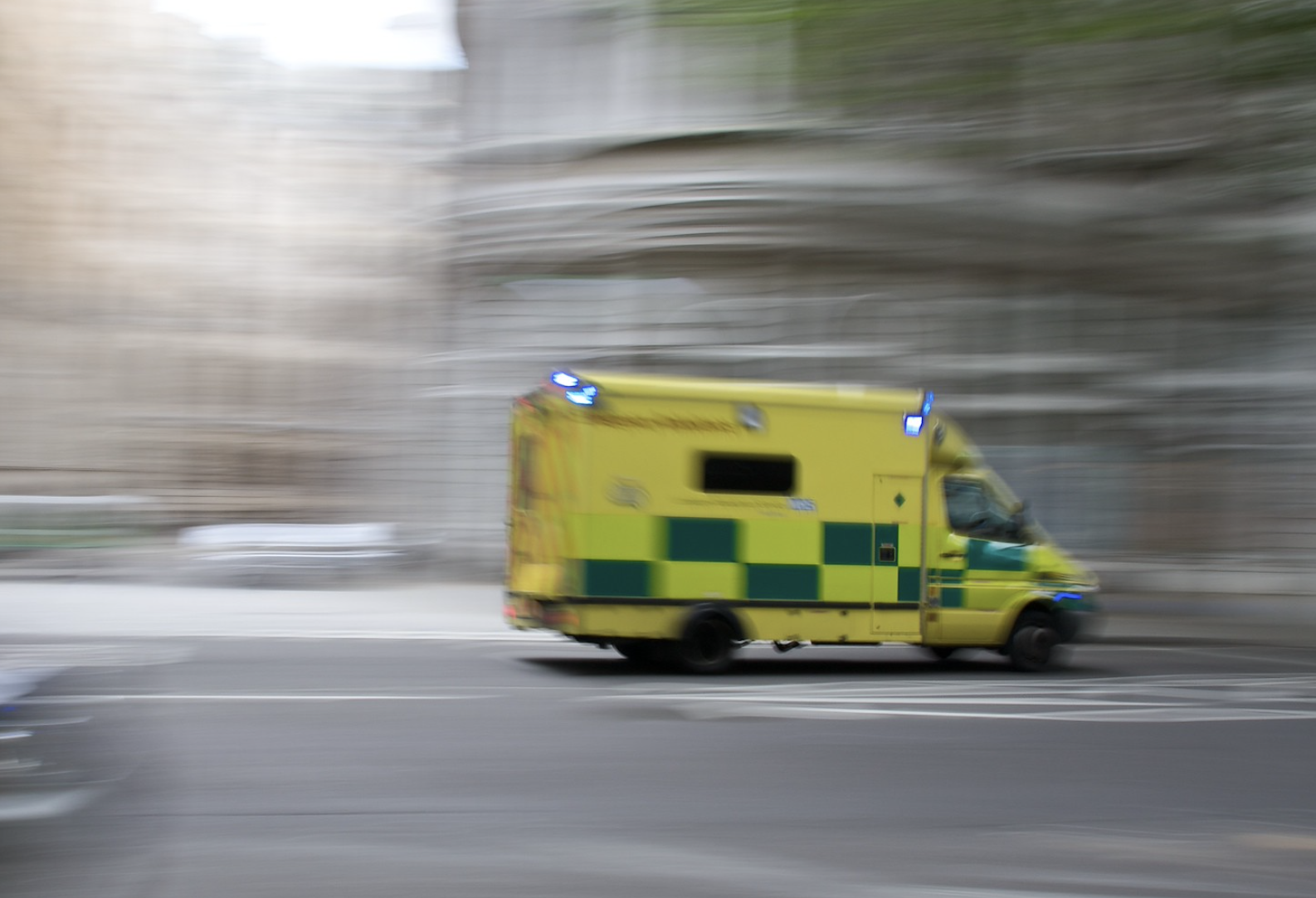
Emergency services need to quickly reach the strangest places. Not only will a mapcode get an ambulance to within meters of its target, no matter where, but the short mapcodes can also be communicated clearly even over bad connections (Eastern Cape, South Africa).
National post code system

National post code system

Many countries are currently considering mapcodes as a candidate for their national post code. Most countries today only have "zone" codes, where thousands of dwellings share the same code. South Africa was the first to introduce mapcodes to officially support informal dwellings (such as slum dwellings).
Inventory localization

Inventory localization

In countries without an effective addressing system, utility services can not readily come to aid of households or businesses when they are faced with power cuts or water leakages. In Kenya, Uganda and Nigeria, electricity and water meters bear mapcodes which aren't just their unique asset identifier, but acts as the address of that particular house or business.
Archeological finds

Archeological finds

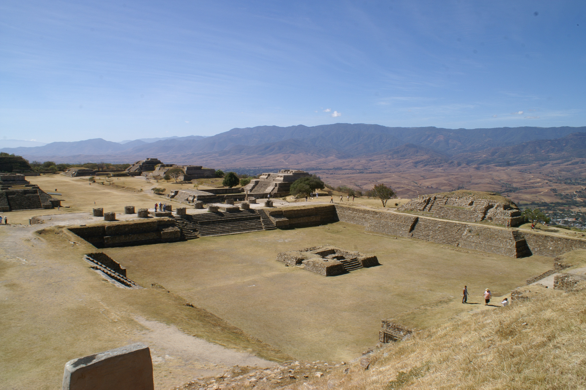
Archeological and botanical finds are (of course) registered very precisely. Many errors are made, however, both in writing down and in copying the unwieldy latitudes and longitudes. Mapcodes are now used to put a human face on coordinates by the Naturalis Biodiversity Center.
Land ownership

Land ownership

Land or building ownership is a relevant and complicated, but vastly under-organized issue in many countries. Several land registry offices are looking into identifying parcels of land by their central mapcode whilst others (South Africa, India, USA) have implemented mapcode down to a 1m2 accuracy for urban planning and asset management.